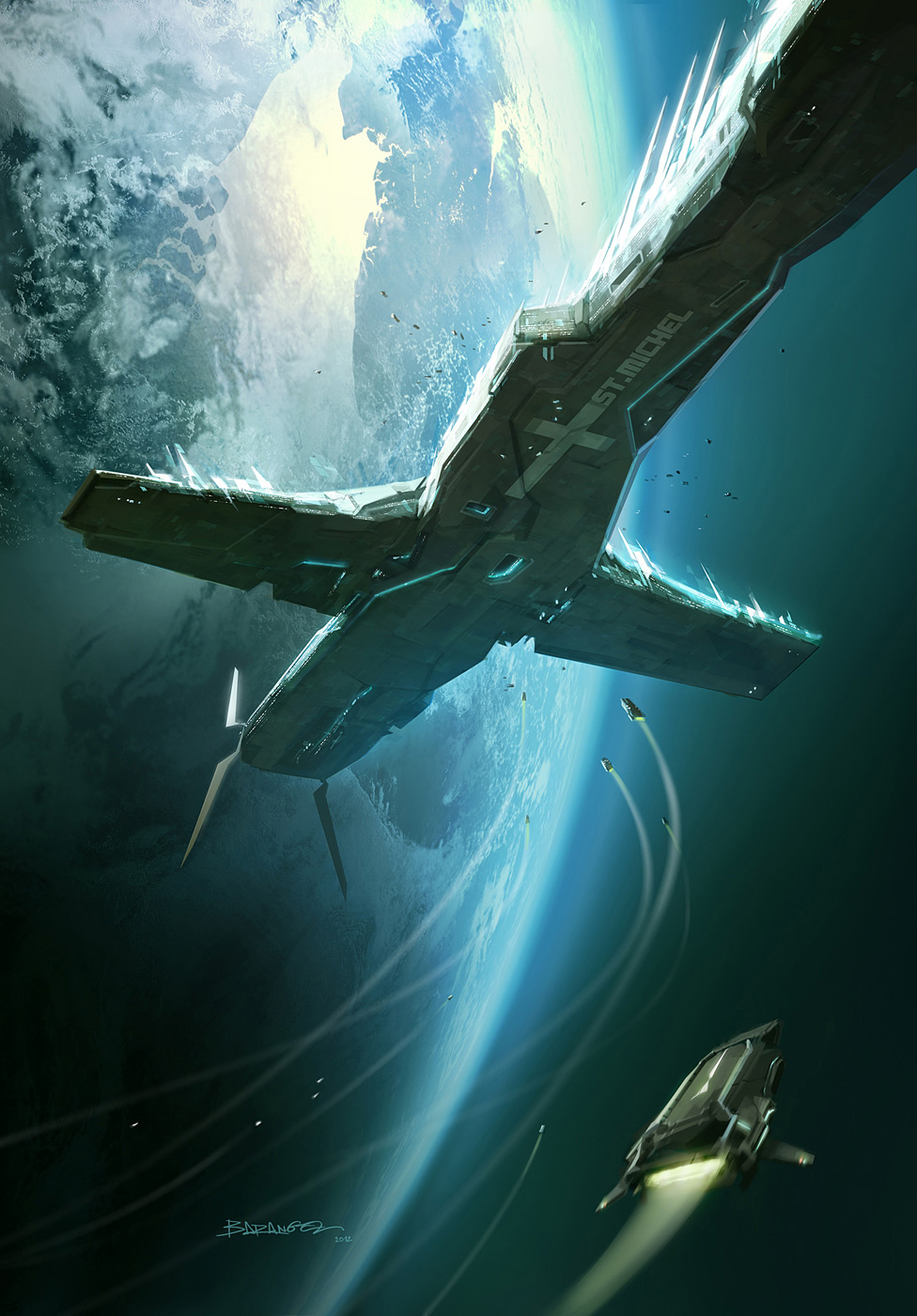
If you look carefully you should be able to recognise the landmasses on the planet behind the ship in the second pic. The clouds obscure them a bit, and they're upside down (i.e. north is to the bottom of the image) but you can make out the coastlines around the southern North Sea, with the Rhine-Meuse-Scheldt delta in the upper left, the Thames and Wash estuaries in the upper centre, and the Strait of Dover right on the top edge. You can also make out the Severn estuary.
6 comments